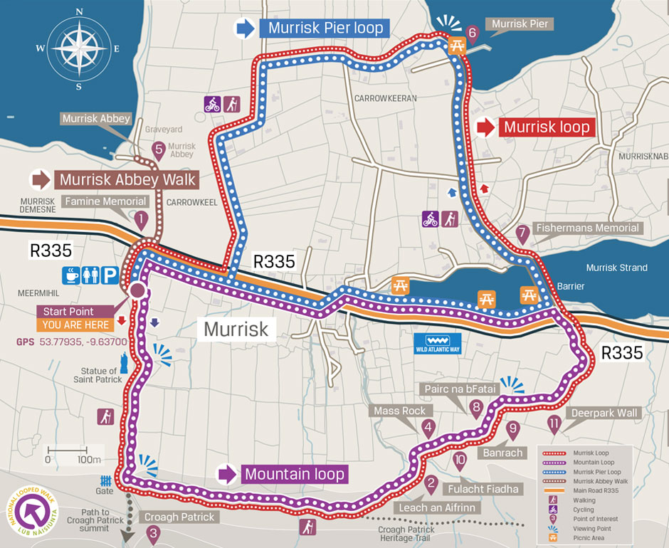
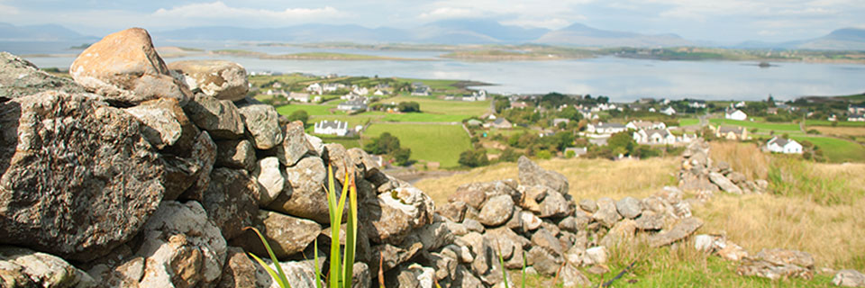
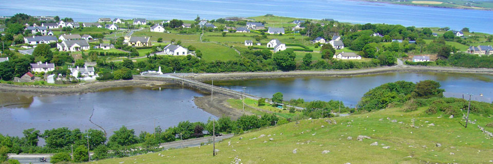
Description: This is a combined mountain, lane and footpath walk which offers spectacular views over Clew Bay as well as local sites of historical and archaeological interest.
Mountain Loop
Distance: 4 km
Highest point: 114 metres
Trail Surface: Minor roads, mountain
Difficulty: Hill walking
Duration: 1.5 hours - 2 hours
Description: This is a moderate walk which climbs towards Croagh Patrick before turning left after the “swing close” gate along a spectacular mountain route. This affords panoramic views over land and sea before passing sites that include fulacht fiadh (ancient cooking site), the Mass Rock, bannrachs (enclosure of 3 stone walls used for drying and storing turf), lazy beds, a cashel (stone fort) and the Deer Park wall.
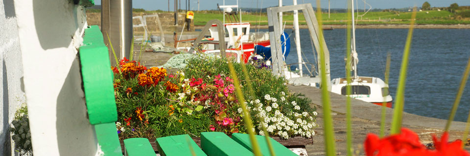
Pier Loop
Distance: 4 km
Highest point: 12 metres
Trail Surface: Minor roads
Difficulty: Easy
Duration: 1 hour
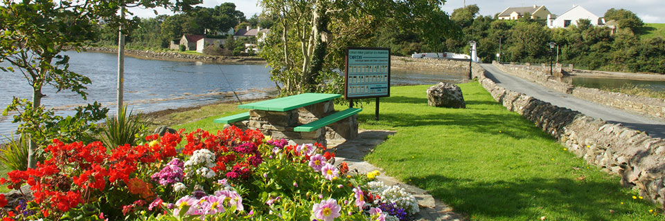
Description: This is an easy walk on good level surfaces which follows picturesque lanes to the old fishing harbour. It continues to the Fishermen’s Memorial and across an old bridge before passing picnic areas and the Marian Shrine along the main road.
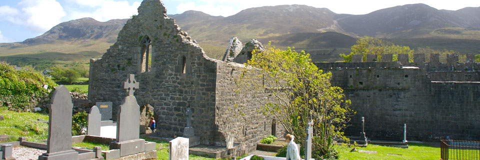
Abbey Walk
Distance: 1 km
Highest point: 8 metres
Trail Surface: Minor roads
Difficulty: Easy
Duration: 30 mins
Description: This is a short easy walk along a country lane to a 15th century Augustinian Abbey. Look out for the east window as well as face carvings on the east and south exterior walls.